

A Shift in What’s Shaping U.S. Landscapes
The Great Shift: Why Nature is Taking Back the Reins of the American Landscape
For decades, the story of the American landscape was one of human ambition. We carved cities out of deserts, expanded industrial farms across the prairies, and logged vast tracts of ancient forests. For nearly forty years, the data was clear: humans were the primary architects of change in the continental U.S.
But a recent analysis of 35 years of NASA/USGS Landsat satellite data reveals a startling pivot. While human-directed disturbances—like construction and agricultural expansion—are actually on the decline, “wild disturbances” are surging. Wildfires, hurricanes, and landslides are no longer just occasional tragedies; they are becoming the dominant forces reshaping our land.
This isn’t just a scientific curiosity. It represents a fundamental shift in how we must live on and manage the land. We are moving from an era of control to an era of coexistence.
The Decline of the Bulldozer, the Rise of the Flame
It seems counterintuitive that human-directed land disturbance is decreasing while our population grows. However, the data shows a steady drop of nearly 232 square miles of human-led disturbance annually. This is likely the result of stricter zoning laws, a shift toward more efficient agricultural technology, and the lingering economic scars of the 2008 financial crisis, which throttled sprawling construction projects.
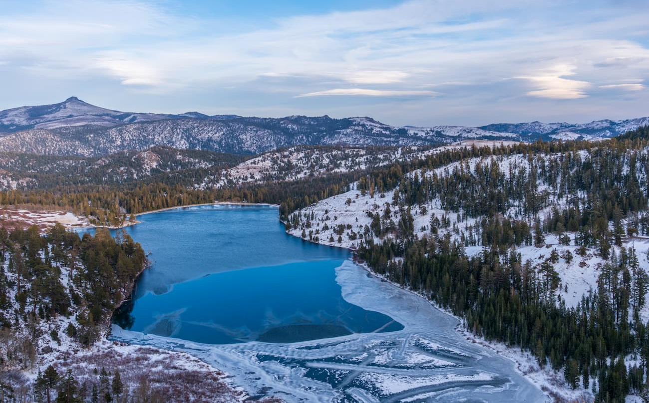
Conversely, wild disturbances are increasing by more than 77 square miles per year. The driver here is clear: a warming planet. Higher temperatures and shifting precipitation patterns have created a “tinderbox” effect in the West and more volatile storm surges along the coasts.
Take the Eldorado National Forest as a case study. Satellite imagery shows a recurring cycle of devastation and slow recovery. Major fires in 1992, 2014, and 2022 didn’t just burn trees; they stripped the soil, fundamentally altering the ecosystem’s ability to bounce back.
From Control to Coexistence: A New Blueprint for Resilience
For a century, the American approach to nature was “command, and control.” We built massive levees to stop floods and spent decades suppressing every small wildfire. We now know that this strategy often backfires, leading to more catastrophic “mega-fires” and devastating flood events when the systems eventually fail.
The future of land management lies in strategic adaptation. Instead of trying to stop the inevitable, policymakers and homeowners are shifting toward resilience. This includes:
- Prescribed Burns: Intentionally setting small, controlled fires to clear underbrush and reduce the fuel load for larger wildfires.
- Fire-Resilient Architecture: Moving away from flammable siding and roofing toward materials that can withstand extreme heat.
- Nature-Based Infrastructure: Creating “sponge cities” and restoring wetlands to absorb hurricane storm surges rather than fighting them with concrete walls.
How AI is Mapping Our Survival
One of the most fascinating aspects of this research is how we know this. Distinguishing between a forest cleared by a logger and a forest cleared by a fire isn’t always easy from space. Historically, this required tedious manual inspection.
To solve this, researchers trained a machine-learning algorithm using 40 years of land-change data. By analysing 50,000 specific locations, the AI can now differentiate between disturbance types with over 75% accuracy. This allows us to see patterns in real-time, giving climate resilience planners the data they need to predict where the next disaster is likely to strike.
This fusion of satellite imagery and AI is turning the U.S. Map into a living document, helping us understand that the land is not a static backdrop, but a dynamic system that is currently reacting to global environmental stress.
Frequently Asked Questions
Q: Does this mean humans are no longer the main cause of land change?
A: In terms of cumulative area, humans have still disturbed more land overall. However, the trend has shifted. Human-led changes are slowing down, while natural disasters are accelerating.
Q: Why are “wild disturbances” increasing?
A: While these are natural events, their frequency and intensity are heavily influenced by climate warming, which leads to drier forests and more powerful storms.
Q: What can policymakers do to prepare communities?
A: Shift funding from disaster recovery to disaster mitigation. This includes updating building codes and implementing land-use policies that discourage building in high-risk floodplains or fire-prone wildland-urban interfaces.
The evidence from Nature Geoscience makes one thing certain: the era of dominating the landscape is over. The question now is whether we can adapt fast enough to live in harmony with a more volatile world.
What do you think? Is your community taking enough steps to prepare for “wild disturbances,” or are we still relying too much on old-school control methods? Share your thoughts in the comments below or subscribe to our newsletter for more deep dives into the future of our planet.