

Tokai Weather: Rain Through May 28 Followed by Intense Heat and Typhoon 6 Outlook
The Tokai region is facing a volatile weather transition this week, shifting from humid rain to intense summer heat before the potential arrival of a tropical system. Residents are advised to prepare for fluctuating conditions as the region moves through several distinct weather patterns over the next several days.
Immediate Outlook: Rain and Humidity
For Wednesday, May 27, rain clouds associated with low pressure and stationary fronts are affecting much of Western Japan. In the Tokai region, rain has already begun in mountain areas and southern Mie Prefecture.
While the bulk of the rain clouds may remain primarily over the ocean, intermittent rainfall is expected to continue in southern Mie throughout the afternoon. Other areas, particularly those along the Pacific coast, could see rain from evening into the night.
Temperatures on Wednesday have already reached “summer day” levels of 25°C or higher in many locations. High humidity is expected to make the air feel oppressive, and the use of folding umbrellas is recommended for those travelling.
Expectations for Thursday, May 28
Unsettled weather is likely to persist through Thursday as the region remains under the influence of fronts along the coast of southern Honshu and the Sea of Japan. The day will be characterized by heavy cloud cover and occasional light rain.
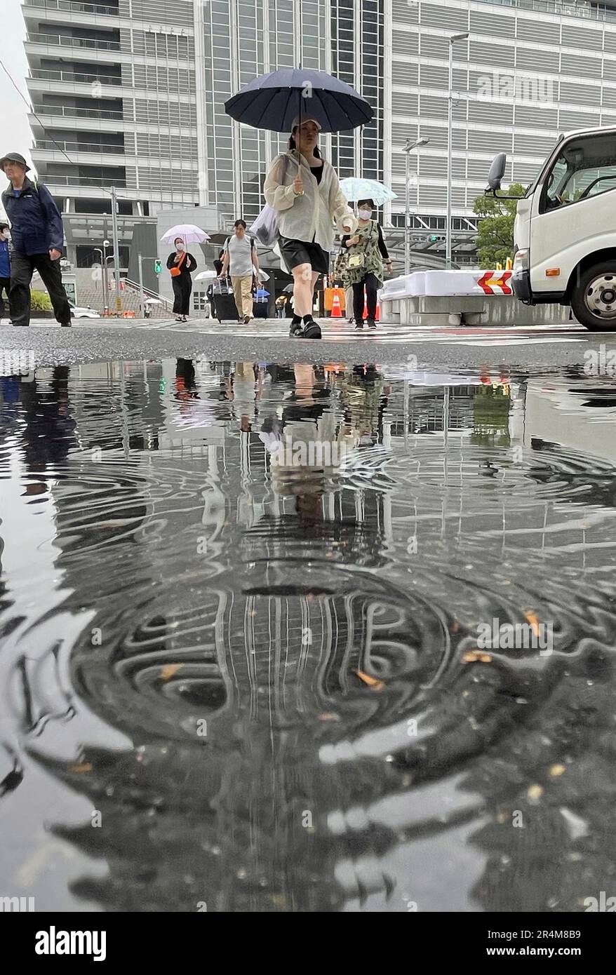
Forecasted high temperatures for Thursday include 27°C in Nagoya and Shizuoka, 28°C in Gifu, and 26°C in Tsu. High humidity levels will likely maintain a muggy sensation throughout the day.
Upcoming Heatwave and Health Warnings
A significant shift is expected on Friday, May 29, as stationary fronts move away from Honshu and a high-pressure system takes hold. This system is likely to bring unseasonably warm air to the region through Monday, June 1.
Temperatures are expected to frequently exceed 30°C, resulting in severe heat. On May 30 and 31, the air is expected to be drier, which may provide some relief in shaded areas.
Residents are encouraged to use hats and parasols to mitigate direct sunlight. Because nighttime temperatures may remain high, careful health management is advised to prevent heat-related illnesses.
Monitoring Typhoon 6
Following the period of intense heat, attention turns to Typhoon 6. The system is projected to move northward, potentially reaching the east of the Philippines by 9:00 AM on May 30.

By 9:00 AM on June 1, the typhoon is expected to reach the waters south of Okinawa. There is a possibility that the system will continue its northward trajectory toward the southern seas of Honshu.
The combination of this typhoon and existing weather fronts could lead to heavy rainfall next week. Local authorities and residents should remain vigilant as the system’s movement is monitored.
Frequently Asked Questions
When will the severe heat begin in the Tokai region? The severe heat, with temperatures reaching 30°C or higher, is expected to begin on Friday, May 29, and continue through Monday, June 1. What are the predicted high temperatures for May 28? The forecast predicts 28°C for Gifu, 27°C for Nagoya and Shizuoka, and 26°C for Tsu. What is the projected path of Typhoon 6? Typhoon 6 is expected to be east of the Philippines on May 30, south of Okinawa on June 1, and may subsequently move north toward the southern coast of Honshu.
How do you typically prepare your home and health for sudden shifts between high humidity and extreme heat?